
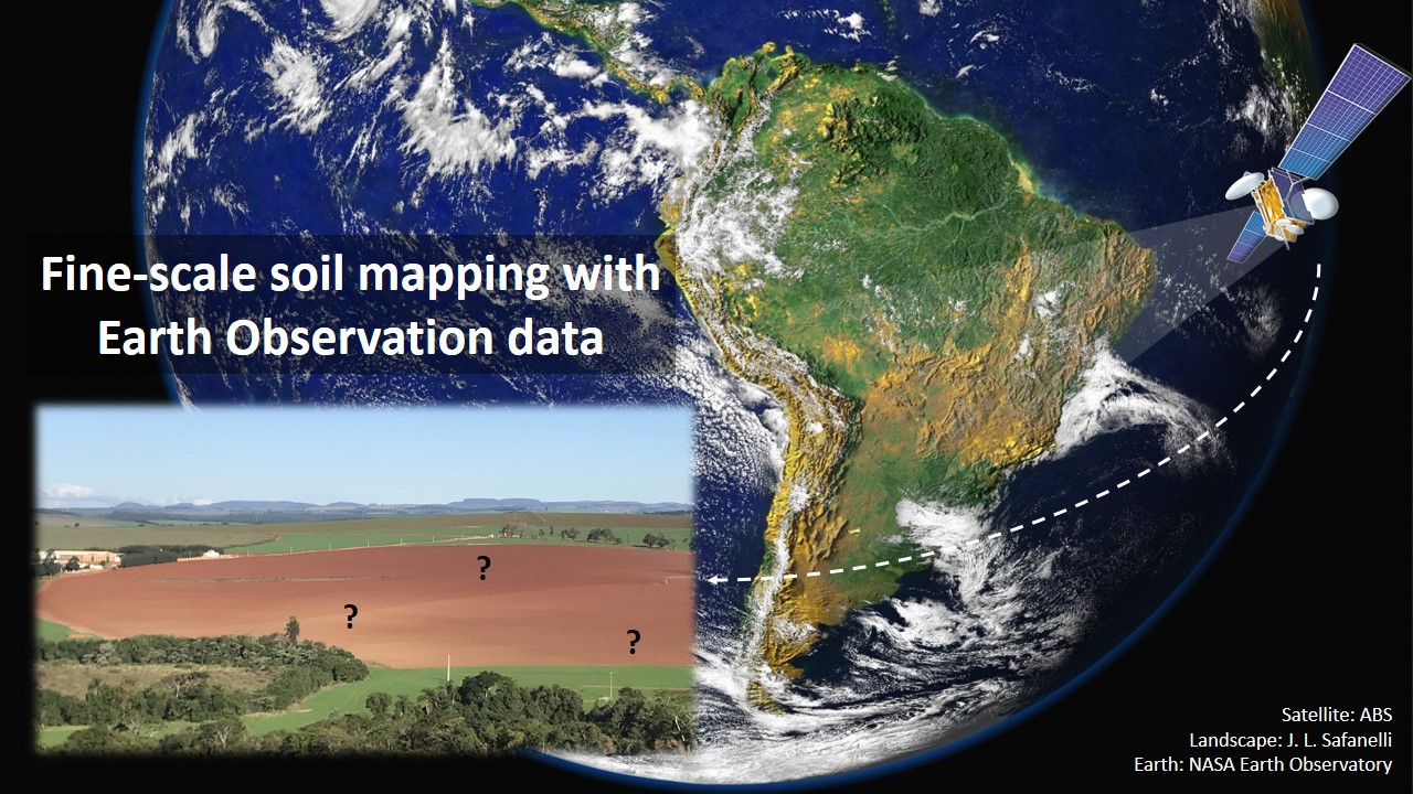
Fine-scale soil mapping with Earth Observation data: a multiple geographic level comparison
José Lucas Safanelli ![]() , José Alexandre Melo Demattê
, José Alexandre Melo Demattê ![]() , Natasha Valadares dos Santos
, Natasha Valadares dos Santos ![]() , Jorge Tadeu Fim Rosas
, Jorge Tadeu Fim Rosas ![]() , Nélida Elizabet Quiñonez Silvero
, Nélida Elizabet Quiñonez Silvero ![]() , Benito Roberto Bonfatti
, Benito Roberto Bonfatti ![]() , [...]
, [...]
24/Nov/2021
ABSTRACT Multitemporal collections of satellite images and their products have recently been explored in digital soil mapping. This study aimed to produce a bare soil image (BSI) for the São Paulo State (Brazil) to perform a pedometric analysis for different geographical levels. First, we assessed the potential of the BSI for predicting the surface (0.00-0.20 m) and subsurface (0.80-1.00 m) clay, iron oxides (Fe 2 O 3 ), aluminum (m%) and bases saturation (V%) contents at the state level, which […]
Assessment of Digital Elevation Model for Digital Soil Mapping in a Watershed with Gently Undulating Topography
06/Jun/2016
ABSTRACT Terrain attributes (TAs) derived from digital elevation models (DEMs) are frequently used in digital soil mapping (DSM) as auxiliary covariates in the construction of prediction models. The DEMs and information extracted from it may be limited with regard to the spatial resolution and error magnitude, and can differ in the behavior of terrain features. The objective of this study was to evaluate the quality and limitations of free DEM data and to evaluate a topographic survey (TS) underlying the […]
Relationships between local farmers’ and pedologists’ knowledge on soil science: A case study in Rio Pardo de Minas, Brazil
01/Oct/2007
One of the challenges of constructing agricultural systems that aim to be sustainable, is the usage of scientific knowledge adapted to the peculiar social situation. For this purpose it is necessary to consider the knowledge that farmers accumulated over time and space. In the case of the soil resources, a modest amount of the local knowledge is considered in classrooms and in soil research. This is a constraint to the application of technologies based on local scientific knowledge involving traditional […]