1 results
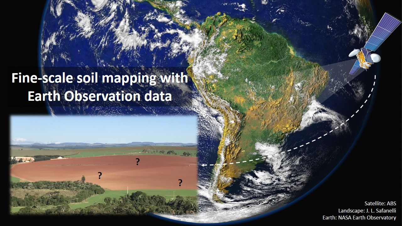
Fine-scale soil mapping with Earth Observation data: a multiple geographic level comparison
José Lucas Safanelli ![]() , José Alexandre Melo Demattê
, José Alexandre Melo Demattê ![]() , Natasha Valadares dos Santos
, Natasha Valadares dos Santos ![]() , Jorge Tadeu Fim Rosas
, Jorge Tadeu Fim Rosas ![]() , Nélida Elizabet Quiñonez Silvero
, Nélida Elizabet Quiñonez Silvero ![]() , Benito Roberto Bonfatti
, Benito Roberto Bonfatti ![]() , [...]
, [...]
24/Nov/2021
ABSTRACT Multitemporal collections of satellite images and their products have recently been explored in digital soil mapping. This study aimed to produce a bare soil image (BSI) for the São Paulo State (Brazil) to perform a pedometric analysis for different geographical levels. First, we assessed the potential of the BSI for predicting the surface (0.00-0.20 m) and subsurface (0.80-1.00 m) clay, iron oxides (Fe 2 O 3 ), aluminum (m%) and bases saturation (V%) contents at the state level, which […]